
Quick Facts
Total Route Length
301 Miles

Total Elevation Gain
11,211 Feet

Amount Unpaved
90%
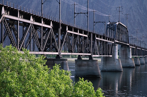
Though the Palouse to Cascades starts or ends on the wet side of the state, the Palouse to Cascade Trail may reasonably be called an Eastern Washington Trail, as over 60% occurs East of the Columbia River. The trail follows the old rail grade, with detours a plenty dodging active railroads and private land. While rail trail may connote a flat route, it doesn’t necessarily mean a smooth one. Large sections of this trail are rocky and difficult, travelling through exposed terrain that makes up most of Central Washington.
A free trail registration for is required through the Washington State Park for the Eastern section of the trail. Those seeking an even longer trip will find a trailhead for the Trail of the Coeur D’Alenes not far from from the Idaho border in Plummer, ID.
Resources:
Leave a Reply